The November 2016 election was a high point for transit. The measure of public confidence expressed in transit agencies to provide better transportation was unprecedented.
Walkability is one of the keys to high transit ridership, and yet much of the nation's transit is located in low density, unwalkable places. As a result, the U.S. transit industry faces the need to create “first and last mile” connections to and from transit.
Read MoreLast week the MTA acknowledged that agency-wide change is needed to improve bus performance, but what does that look like in practice?
Read MoreSeleta Reynolds was appointed General Manager of the Los Angeles Department of Transportation by Mayor Eric Garcetti in 2014, and is responsible for implementing Great Streets for Los Angeles.
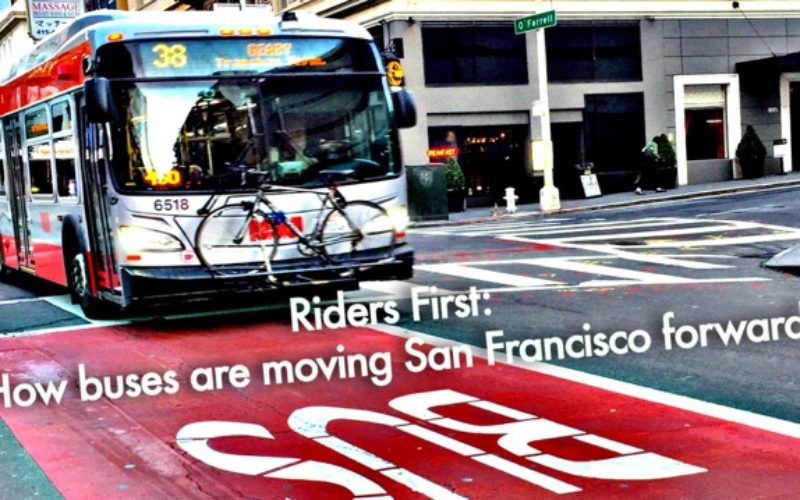
The unsung hero of San Francisco is the humble city bus, which moves more than 500,000 people through the city every day.
As a follow-up to our post about how to download and interact with National Transit Database (NTD) ridership data, we wanted to further explore how to interpret and use this data.
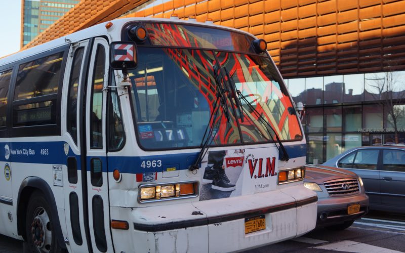
We've done some analysis, and have come up with a list of the top 10 NYC streets that should have bus lanes or other transit priority measures.
Today’s conversation about “smart cities” is driven by buzzwords like ‘big data’ and ‘internet of things’ that veil how vague their promises are.
Unlike death and taxes, funding for transit is never guaranteed. However, the arrival of the Trump administration brings unprecedented levels of uncertainty to federal transportation funding programs.
